- 21 septembre 2023
- Envoyé par : LA REDACTION
- Catégorie : BLOG, Cameroon, International
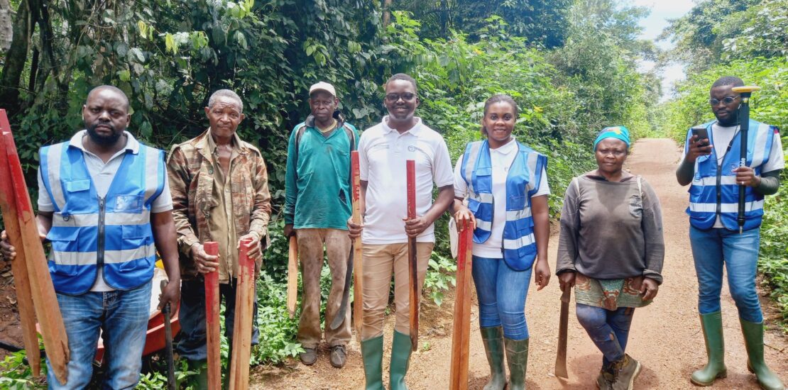
At YILAA-Cameroon we are committed and passionate about protecting the land rights of Indigenous People, even in far remote areas. So distance is not a barrier to our work.
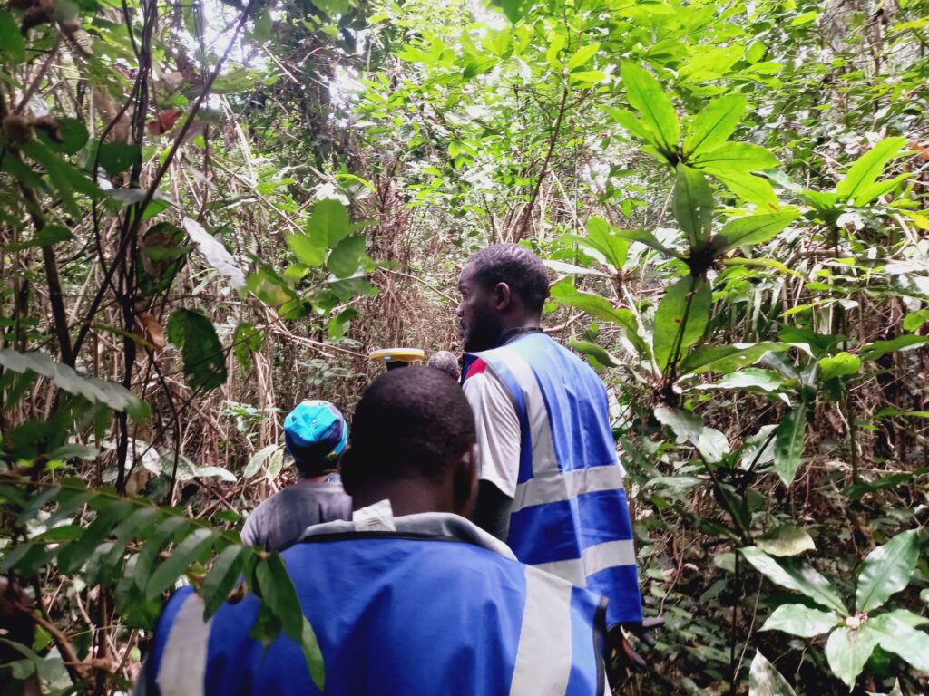
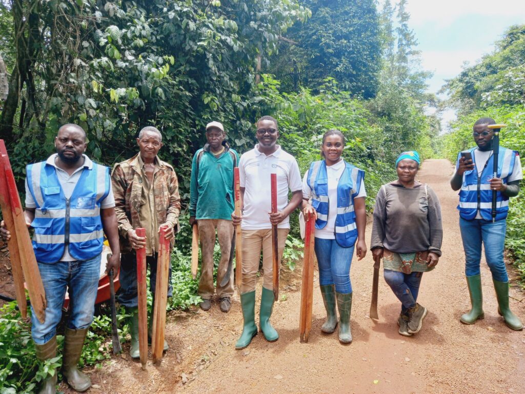
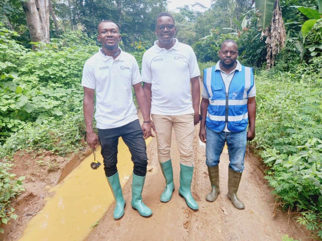
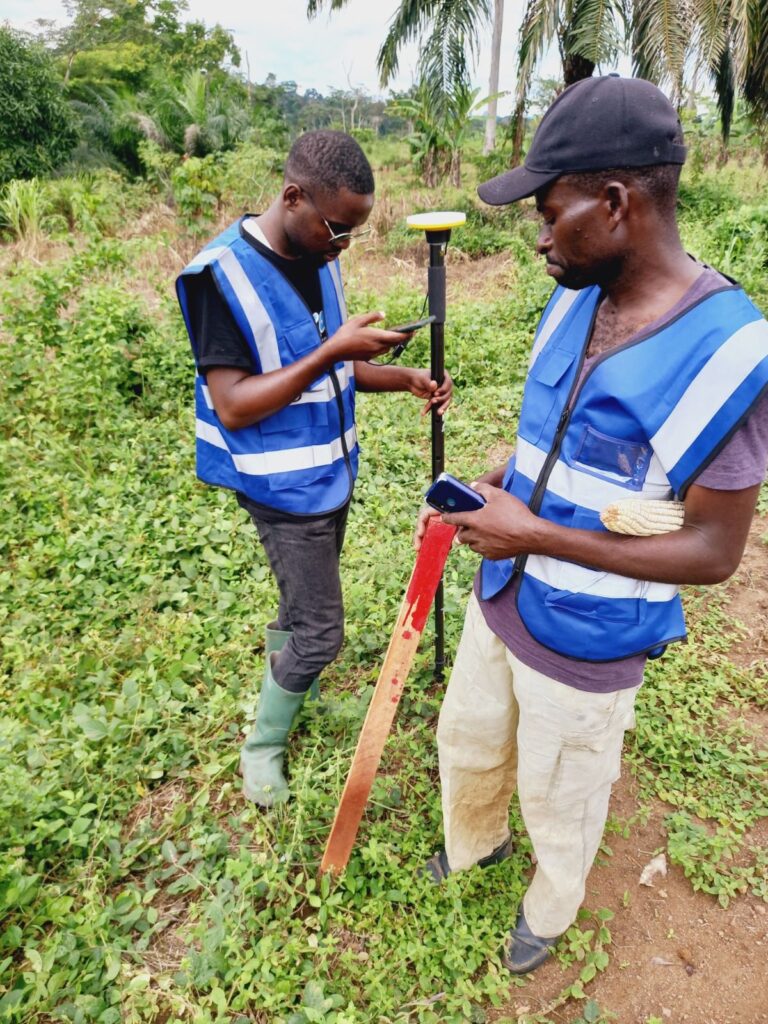
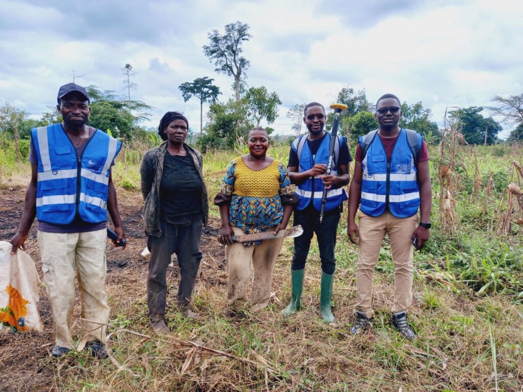
Last week from the 11th to the 15th of September 2023, we mapped the land rights of indigenous people in the villages of Mezog, Asanzoua, Samkoue, Nkolnyama, Mebomezoa, Mekamba and Nyemeyong, in the center region of Cameroon. Tthese seven villages are found in the department of Nyong-et-So’o in the District of Mbalmayo. Some of these villages like Mmezog and Asanzoua are located in remote ares, that is 20 kilometers away from the district of Mbalmayo.
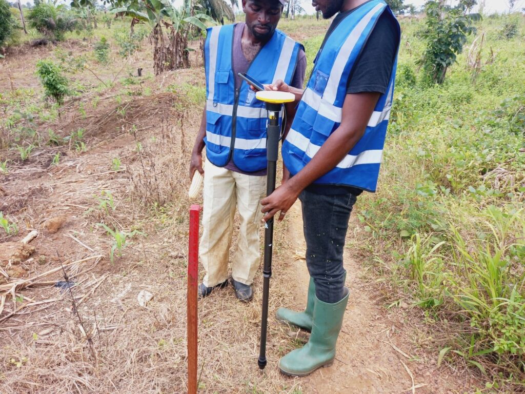
To map these land rights, we used the participatory mapping method developed by SmartLandMaps, and to do the land recording we used DA2 Catalyst GNSS, which is a tool developed by Trimble Inc.
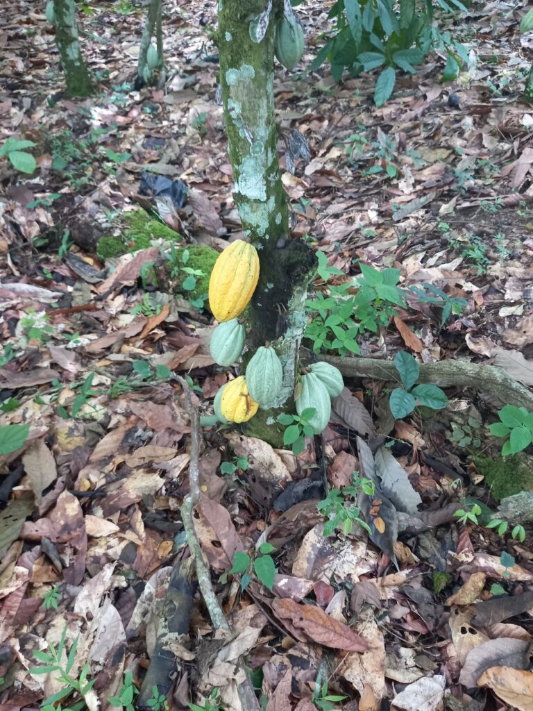
The mapping and recording of land rights is the method used by YILAA-Cameroon to reduce and resolve the land boundary conflicts amongst farmers. Over the past years, there has been a serious increase in land boundary conflicts between farmers and this conflict has led to the destruction of farmlands, thereby causing farmers to fight and wound themselves. So it becomes urgent for us to resolve these conflicts through a participatory mapping and recording of the land rights of these famers.
To perpetuate and consolidate these achievements accomplished through our various field work, we call on the various donors to please join us and support us. We are reachable through the below contacts
(+237) 692640954
loyd.minka@yahoo.fr
marcel.minka@yilaa.org
marcelloyd.minka01@icatt.it